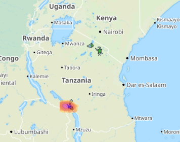
METEOR is a three year project funded by the UK Space Agency to develop innovative application of Earth Observation (EO) technologies to improve understanding of exposure with a specific focus on the countries of Nepal and Tanzania.
The METEOR project consortium is a composed of eight organizations crossing four continents and with expertise spanning from humanitarian aid, to remote sensing, from disaster risk reduction to policy advice.
For more information about the METEOR project please see meteor-project.org. To download level 1 exposure data for individual countries, please see the METEOR project data download page.
If you find this map portal and/or our data useful, please provide feedback via our questionnaire, it should take only a few minutes.
 METEOR Explorer